Aurora Creative Services is proud to bring you:

Mawlers’ Big Adventure ’04:
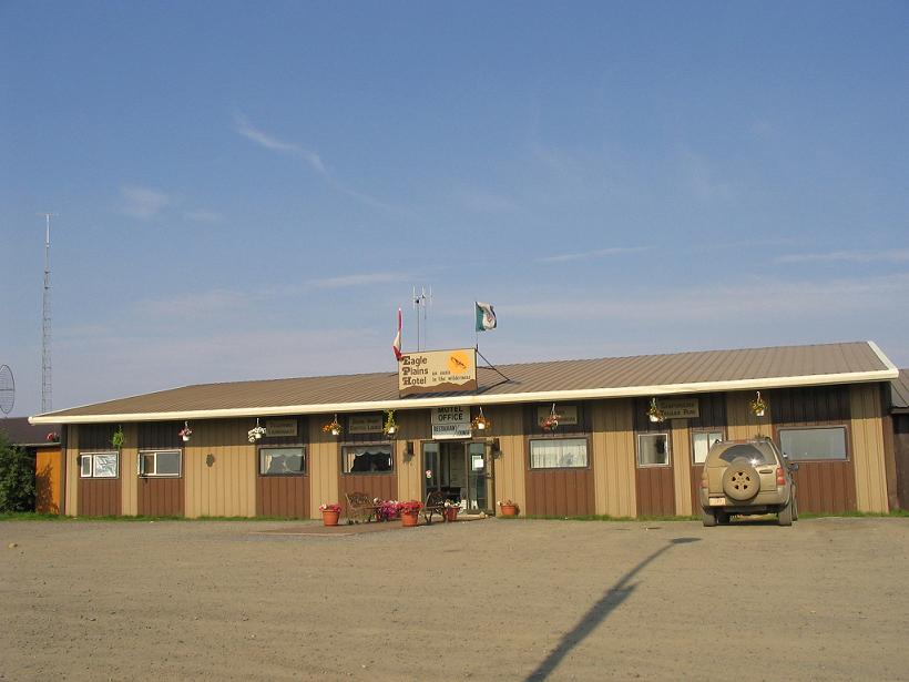
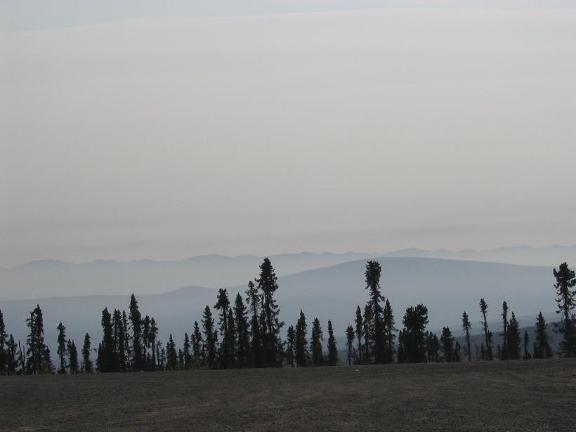
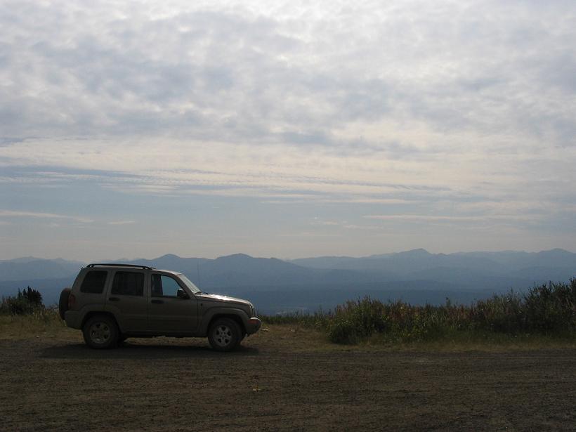
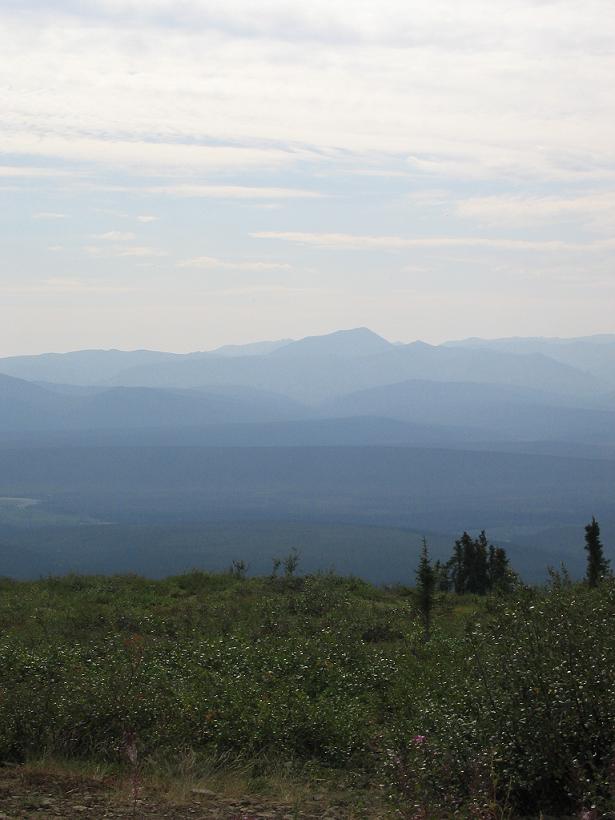
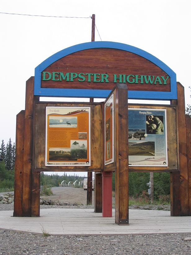
Eagle Plains to Dawson - The Pictures


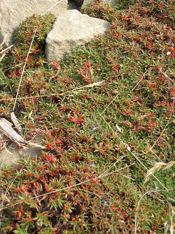
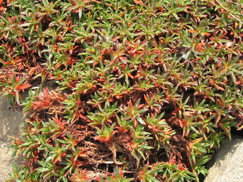
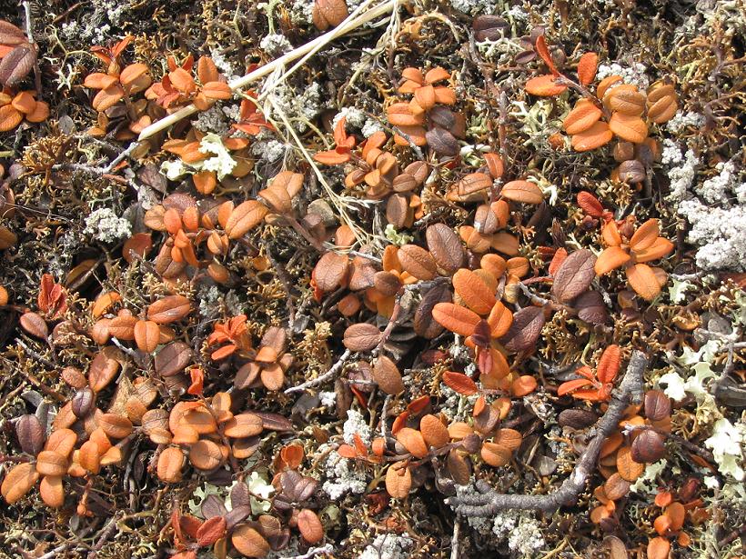
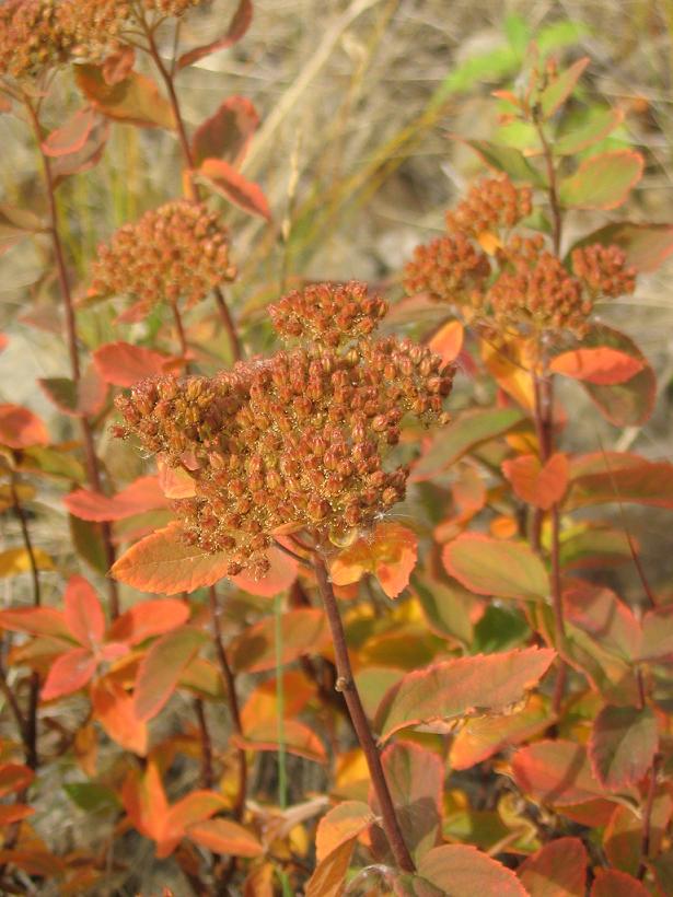
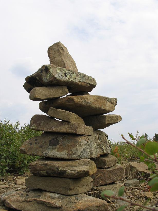
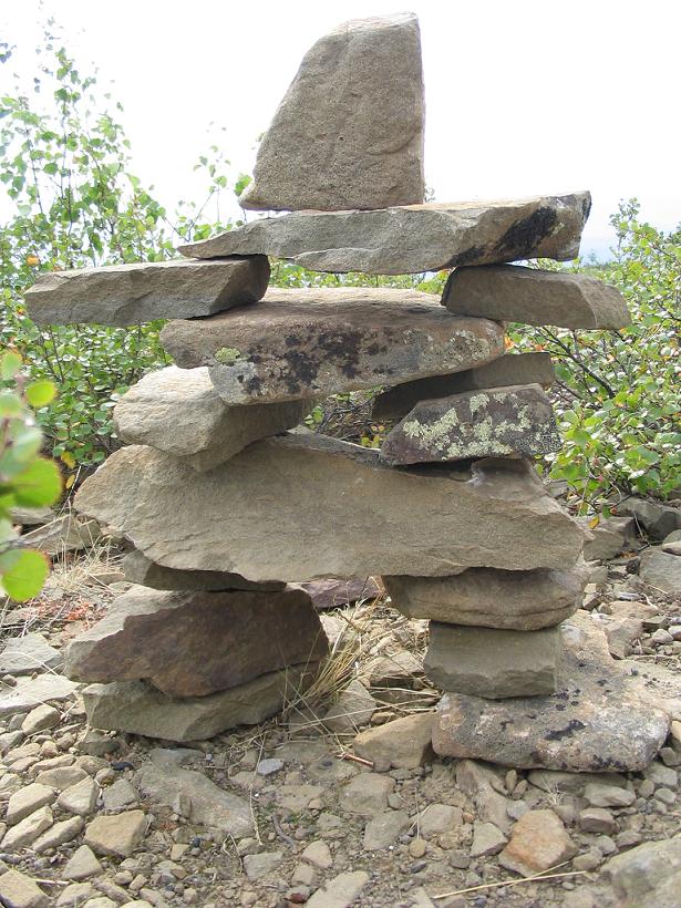
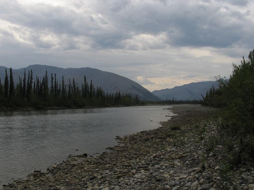
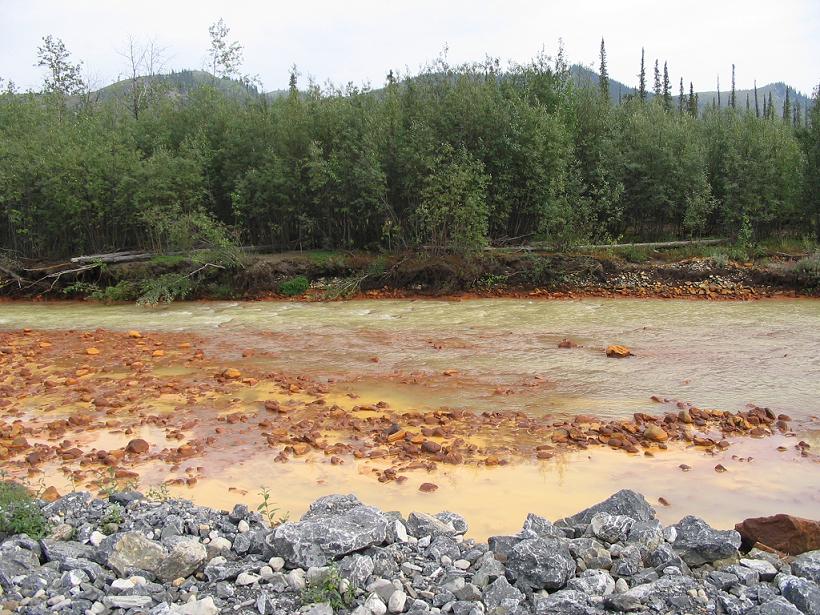
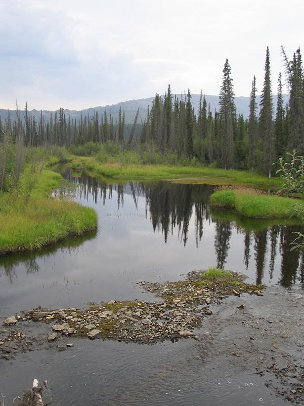
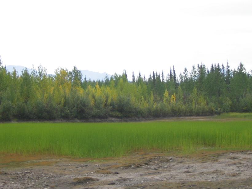
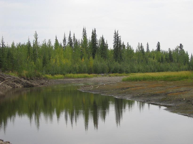
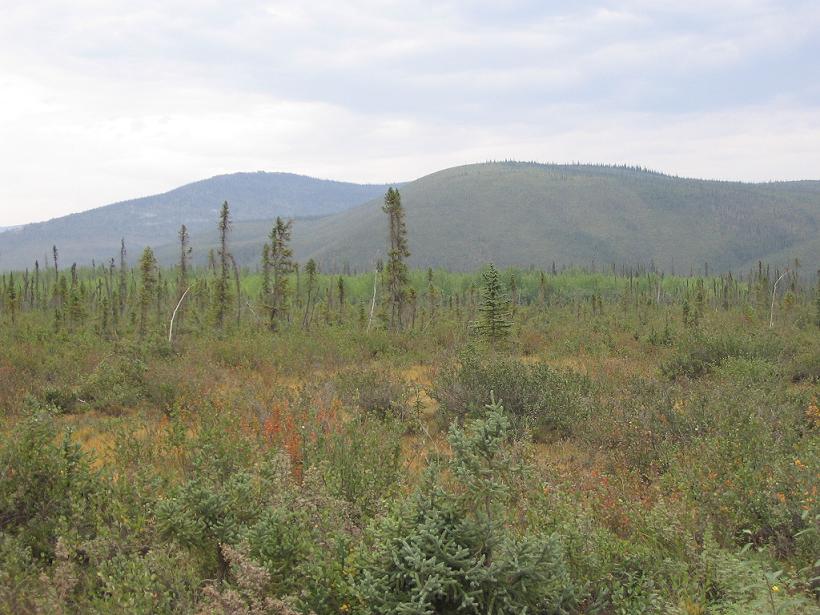
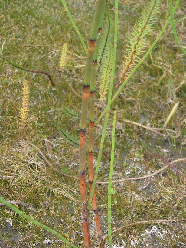
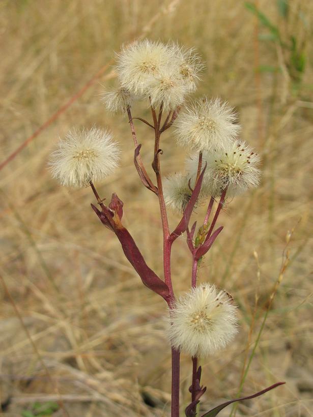
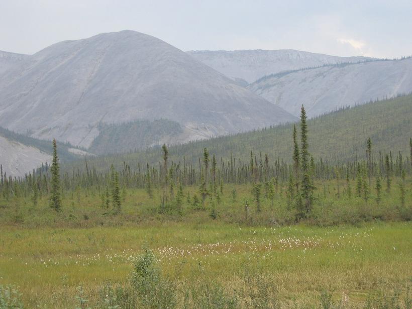
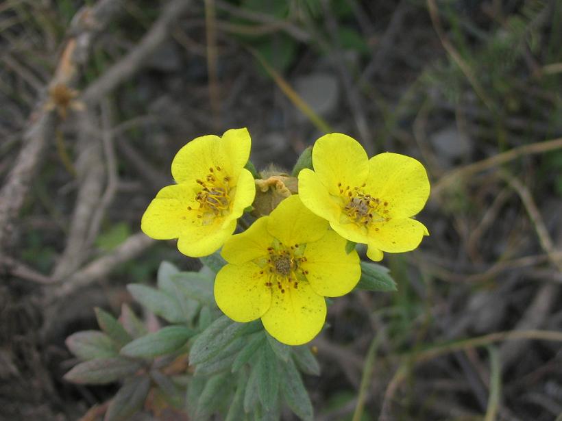
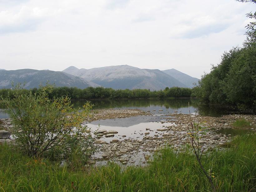
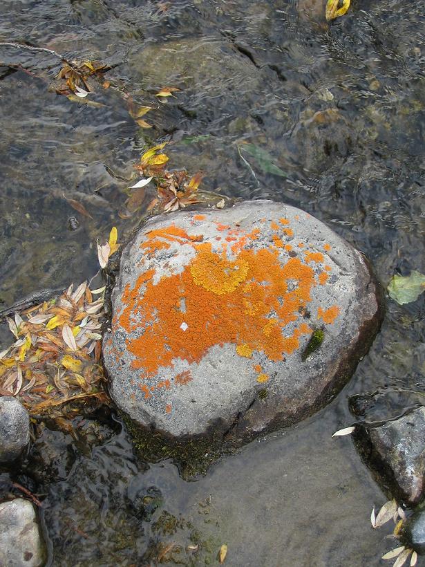
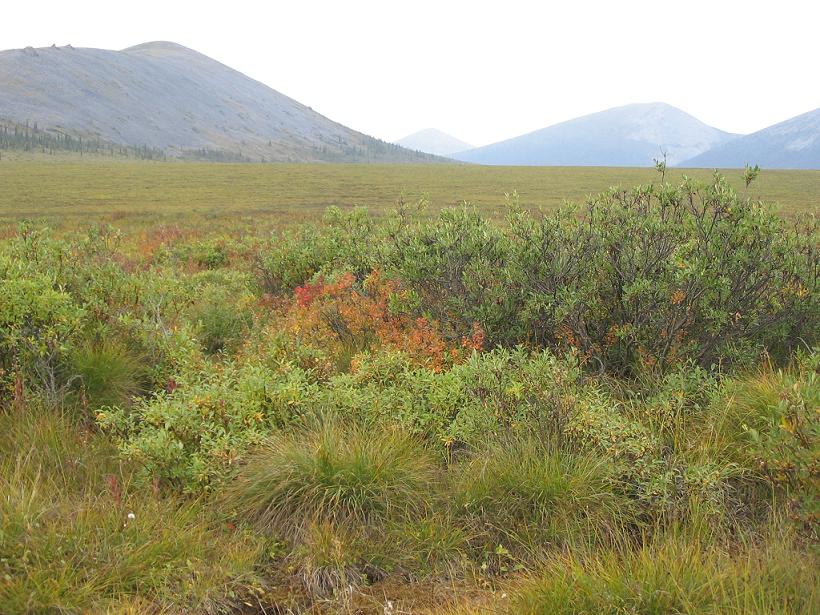
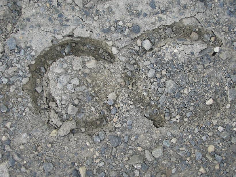
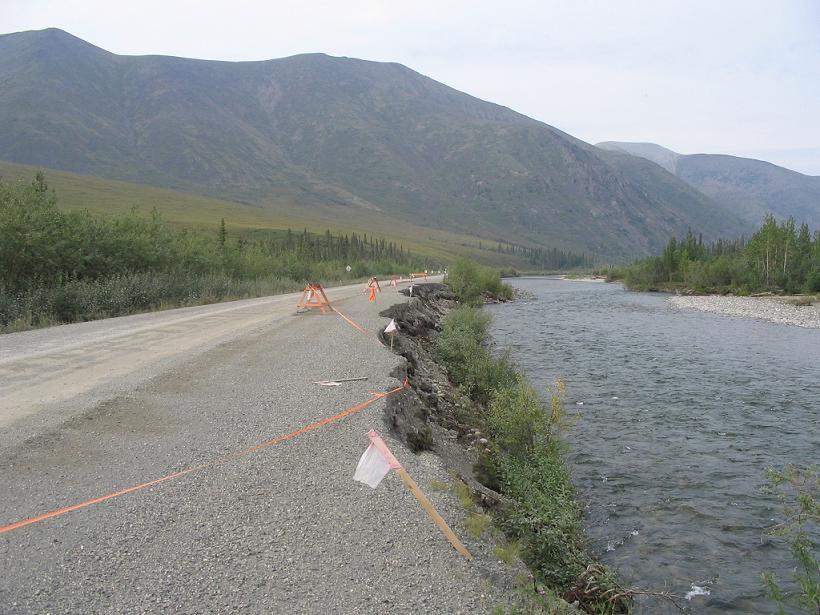
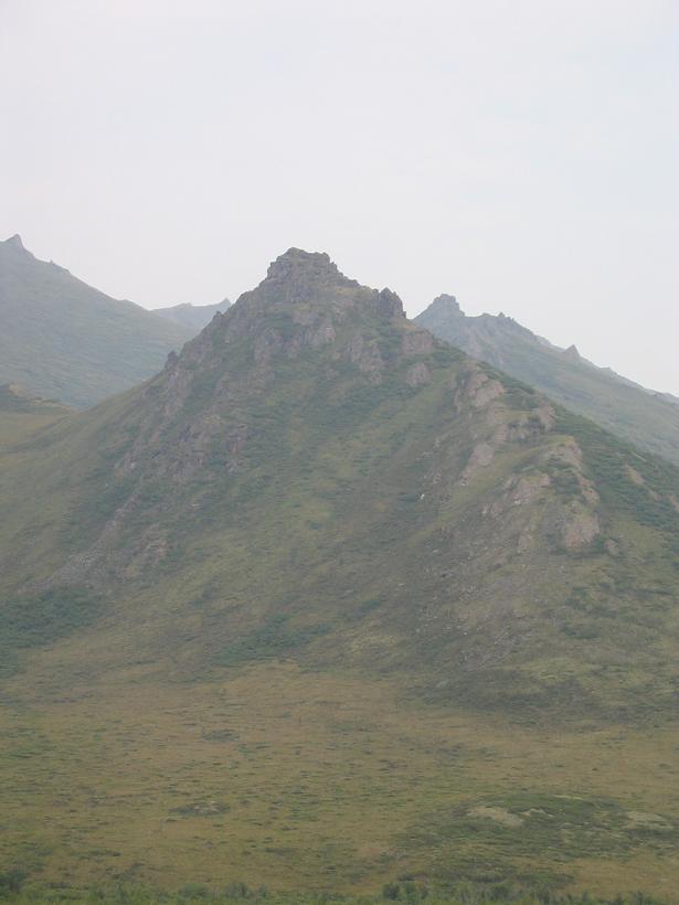
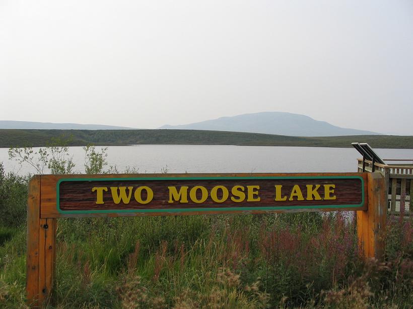
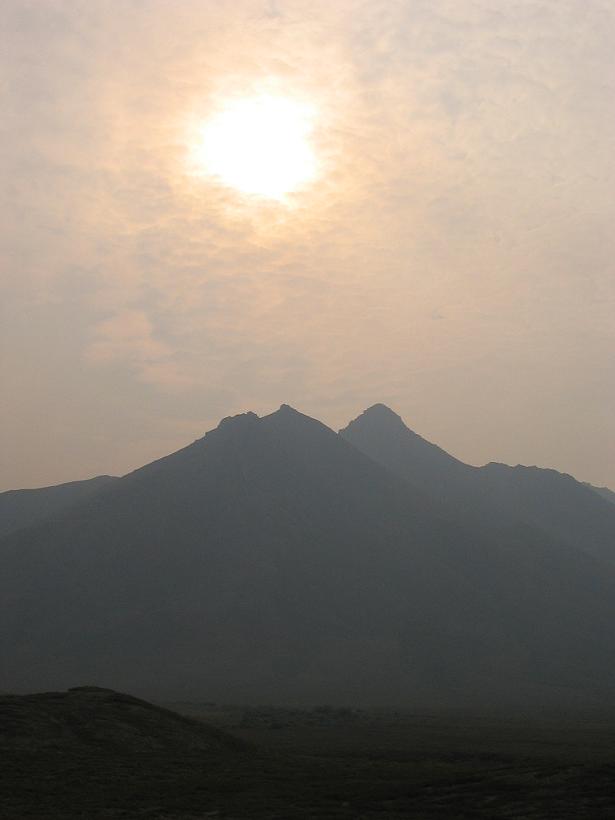
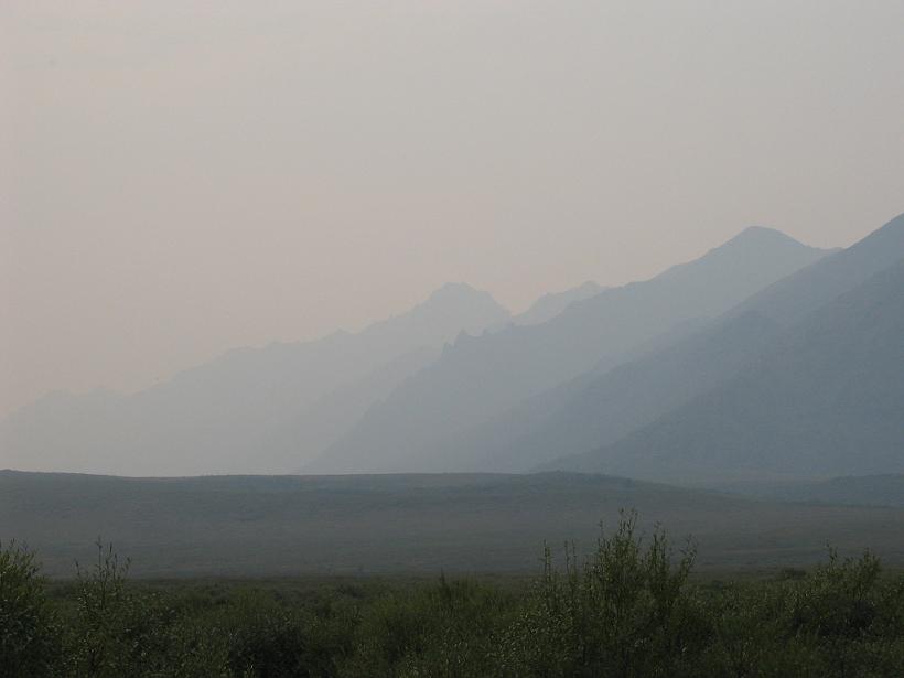
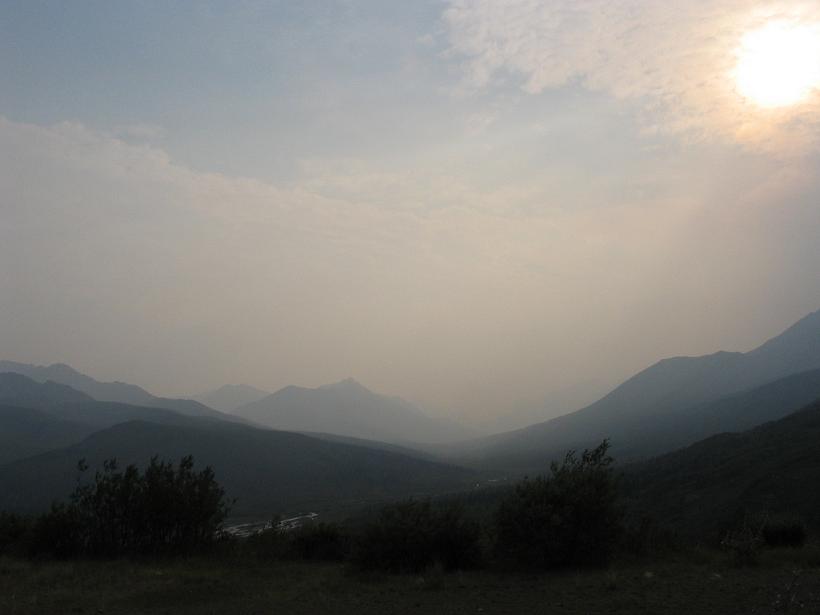
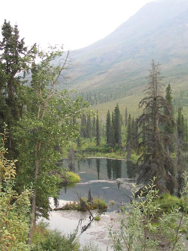
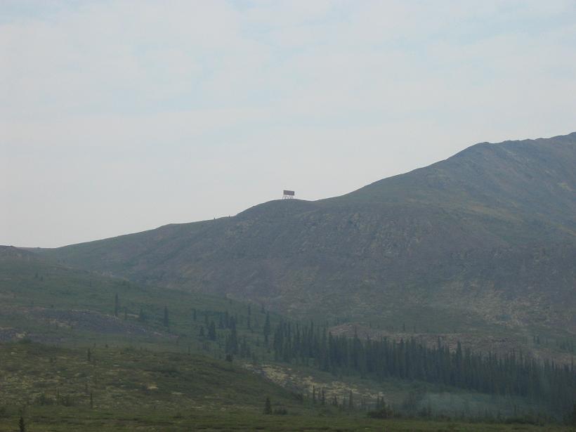
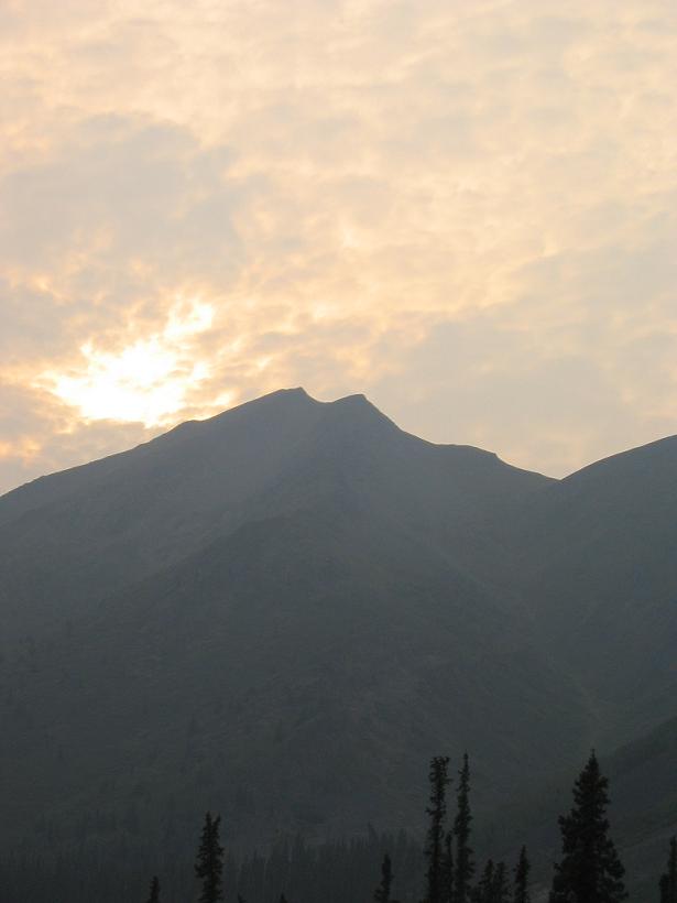
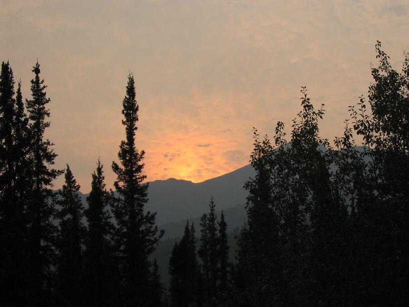
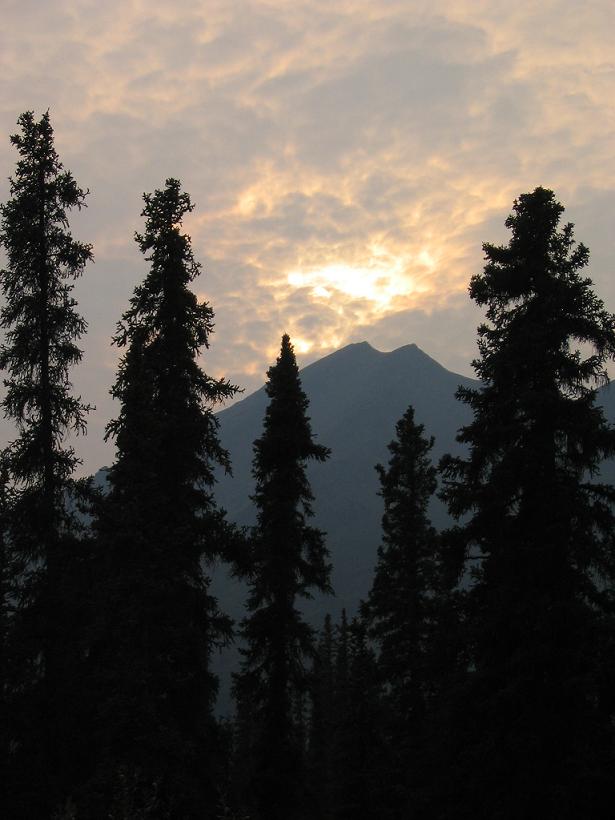
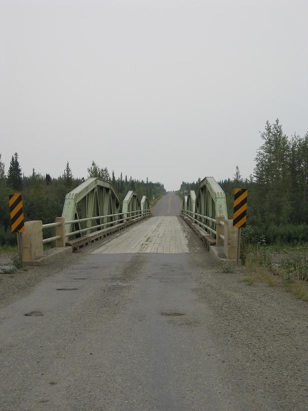
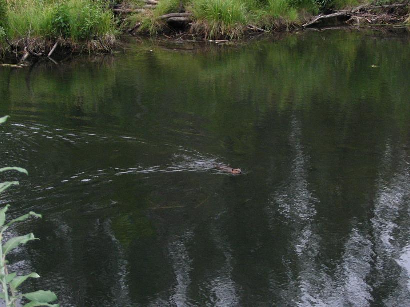
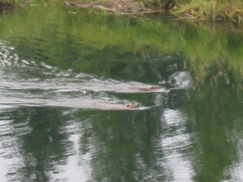
Pictures pictures pictures.


Eagle Plains Hotel in the "morning" light.
Looking east from the Eagle Plains Hotel parking lot in the "morning".
The Jeep at the Ogilvie-Peel overlook.


The misty Ogilvie Mountains march off into the distance from the Ogilvie-Peel overlook.
Tiny ground cover plants at the Ogilvie-Peel overlook. You can tell how small teh stuff is by the heads on the grasses, which are normal, if not small, in size.
Take a closer look at that ground cover, with a slight autumn tinge around the edges.


A different kind of ground cover, somewhat more mossy, at the Ogilvie-Peel overlook.
Yet another kind of ground cover. You can really see how autumn is upon us in this picture.
This plant has moved on to autumn completely. It looks like the sedum growing in our front yard, but the environment is much different.


An inukshuk at the Ogilvie-Peel overlook. You find these all over the north and the new territory of Nunavut has chosen the inukshuk as their territorial emblem. Travelers seem to like them almost as much as the natives, so we suspect that this one might have been built by travelers, considering that it is at a rest stop / overlook.
Inukshuk (singular), meaning "likeness of a person" in Inuktitut (the Inuit language) is a stone figure made by the Inuit. The plural is inuksuit. The Inuit make inuksuit in different forms and for different purposes: to show directions to travelers, to warn of impending danger, to mark a place of respect, or to act as helpers in the hunting of caribou. The Inuksuk is so common across the Arctic that they have become a distinctive feature of the region. The Inukshuk is simply a pile of stones arranged in the shape of a human being.

We found this excellent inukshuk explanation here.


A view of the river (looking south / up river) where you stop to look for Elephant Rock and add your name to the pile of graffiti stones.
This creek contains an abundance of minerals, which cause the rocks to oxidize and the water to look milky. In places it looks down-right toxic. This picture is right across the highway from the sulphur spring, to which we devoted a short picture page.
Here is a close-up of the river and the patterns you can see in the sediment.


From the same spot as the above pictures, this one looks down-river.
This picture is from a few hundred meters up-river from the last picture, where the road crosses the river.
Engineer Creek campground sits across the creek from this impressive ridge, which is home to many birds of prey. We didn't see any.


There are random swamps along the road. This one was on the west side of the highway. Most are just a beautiful as this one.
This swamp is not the same as the previous picture, just to prove the point of how many pretty little spots there are. We just liked the very bright green swamp grass.
But this picture goes with the center picture. The reflection was stunning and there are loads of tiny fish jumping out of the water to catch bugs. There seems to be no lack of bugs.


The fall colors are coming!
Even horse tails change color up here.
And the weeds have attractive ways of going to seed here.


Taken in the vacinity of the fall color picture above.
Also in the area of the fall color picture. These are pretty and you can find them almost everywhere up here. No idea what it is, though.
This is the creek that runs north out of Tombstone Territorial Park. We stopped at a non-descript dirt road leading away from the highway and it ended here at the creek. The turn out is just a km or two north of the park boundary.


Since we had to ford a creek to take that last picture, we decided to stop and wade through it, so we saw this moss-covered rock. It reminded me of something you would expect to see in Vermont.
Back out at the highway, there was a nice vista to the west, so we took a picture.
Mysterious tracks of an unknown large creature! Could it be Bigfoot? (It's a joke son. A funny, see.)


In many places, the highway runs right along the creeks. In this case, it seems to be the other way around.
The peaks became a lot sharper and more jagged as we entered Tombstone Territorial Park.
Can we sue for false advertising? We did not see a single moose, let alone two!


The smoke just got worse and worse, but it made for fantastic pictures of the sun.
These mountain ranges look great, lined-up in the smoky haze.
Interestingly, only way north, this was one of the only spots where we paused to take a picture. In that case, the sun was shining on the valley in the distance. This just seems to be a good spot. Somewhere over there is Tombstone Mountain, we heard.


Just south of the Tombstone Territorial Park Visitors' Center, we saw this beaver pond with a stunning reflection. It also had a seagull, who does not appear in this picture.
Up on the top of that hill is a drive-in movie theatre. Just take a look!
Ok, ok. It is probably some communications reflector, but I like the image of a mountain-top drive-in better.


If you thought we were done taking pictures of the sun, then you don't know us very well. This an excerpt of a series taken just south of Tombstone Territorial Park.
It is the smoke that makes these pictures so good, but they are also proof that you can have fun with the settings on a point-and-shoot digital camera.
After we took this series, we pulled back onto the road and saw a grizzly momma and her cub. Fortunately, they headed for the hills. Unfortunately, we did not get a picture, so you get to see another picture of the sun.


This is the first bridge (or last) on the Dempster. It crosses the Klondike River, just a few meters north of the intersection of the Dempster and the Klondike Highways.
We have a picture of us sitting on the TransCanada Trail sign up in Tuktoyaktuk, so we thought a picture of this one, here at the start of the Dempster Highway, was required.
Have you figured out that the highways themselves are some of the biggest attractions up here?


We thought we were just driving home, at this point, but we stumbled on this beaver swimming around his/her lodge. As you can see, it was getting kinda dark.
This beaver clearly knew we were watching because he swam near us and flapped his tail on the water. Here he is swimming right for us. Ramming speed...
Eventually, this beaver got up on the opposite shore of the pond for a while, so we could get a clear view.


Then the beaver did some additional laps, but the best is yet to come...
It becomes a beaver party. Yes, if you look closely, you will see two beavers making two wakes. This might make up for the lack of moose at Two Moose Lake.


The previous installment:
Happy Trails, Sad Motel

The next installment:
Sulphur Creek Pictures

Back to Great White North Trip main page


Back to Mawler Home

All materials © 2004 Lea Ann Mawler & Stuart Mawler